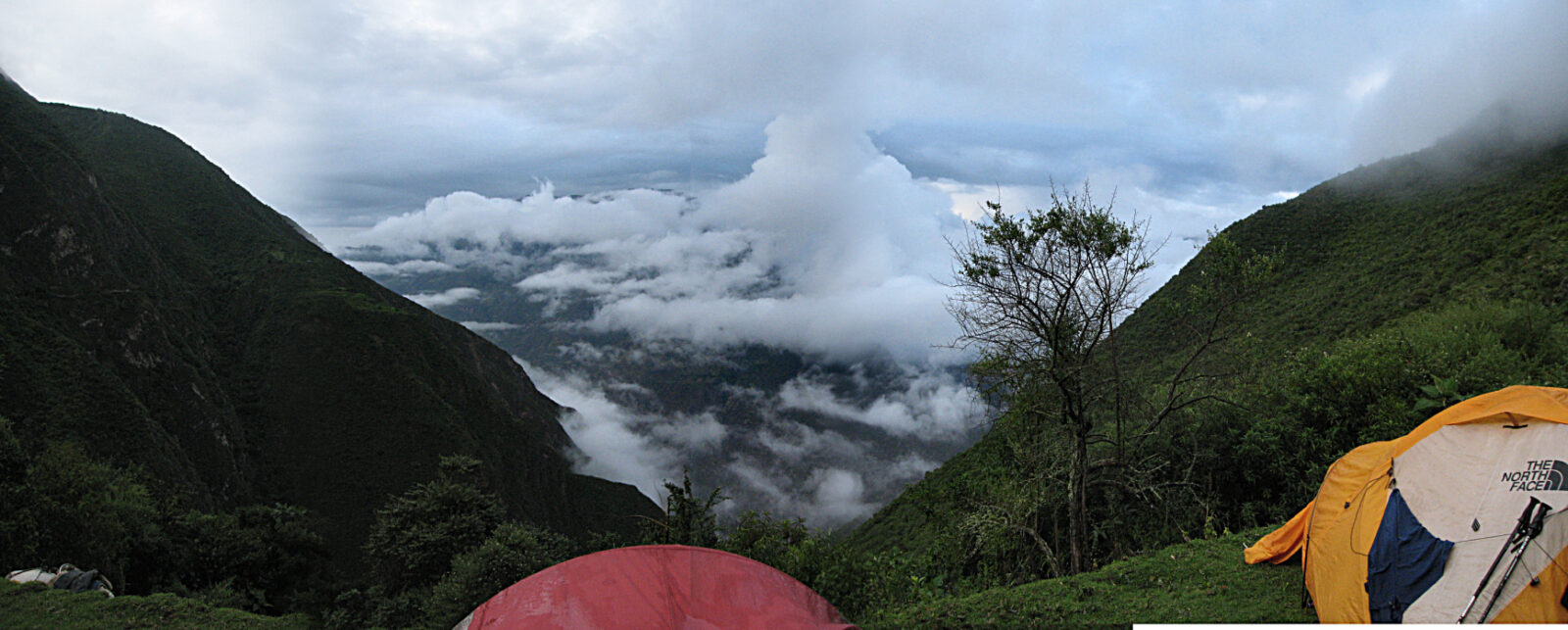
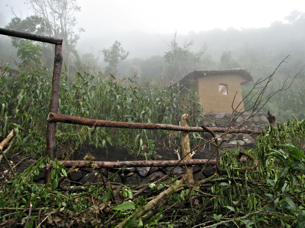
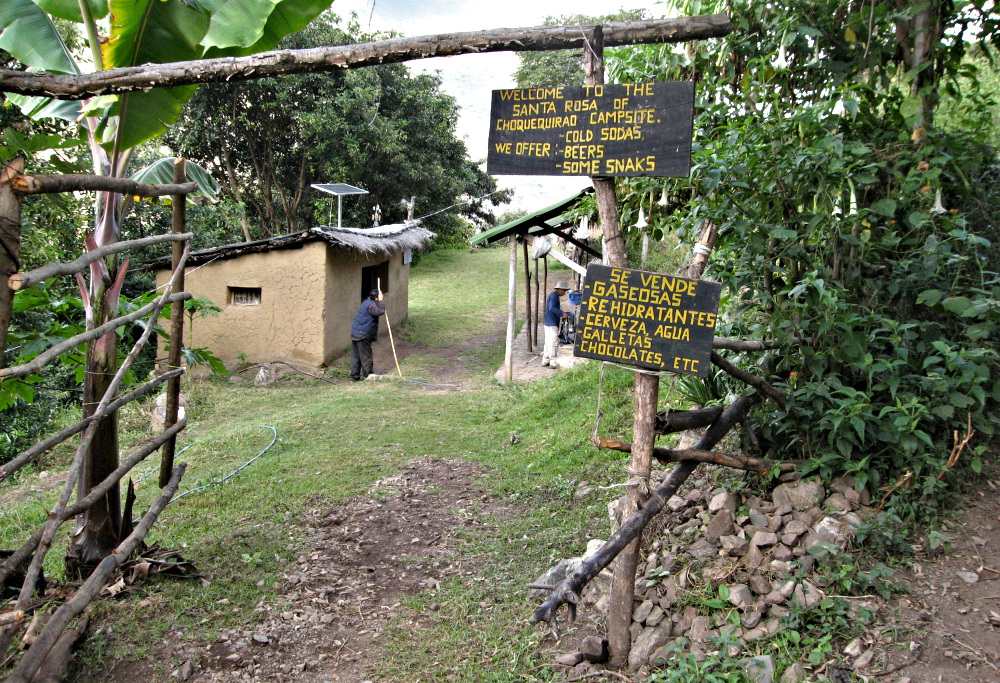
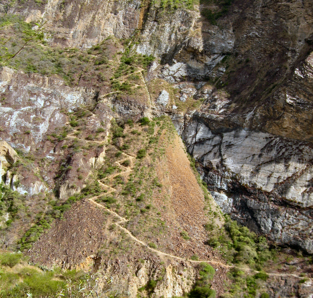
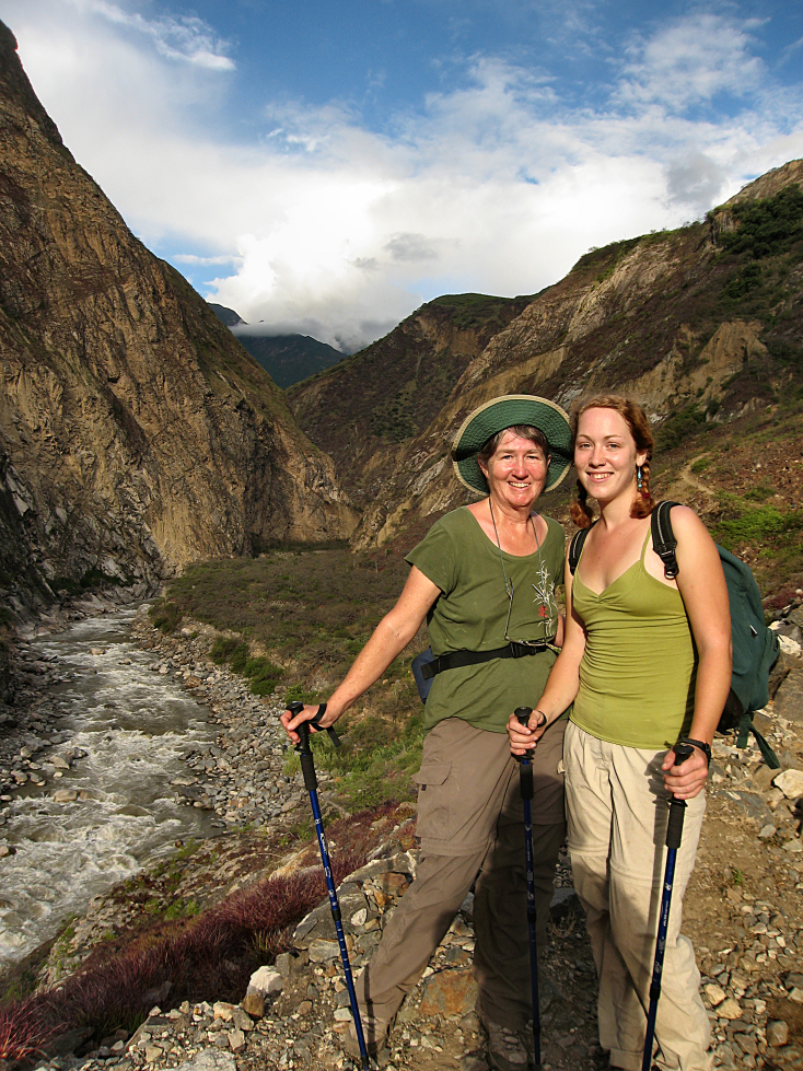

Choquequirao Hike Part III: Down and Up—Again!
The hike up seemed to get longer as we got closer to the finish. The last 15–20 switchbacks seemed interminable. I was stubbornly refusing to ride the horse and I made it to the top on my own—worn out but thrilled at the accomplishment.
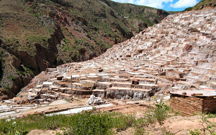
Growing Salt: The Salineras
I was fascinated with this ancient site where salt has been harvested for over 500 years and maybe even for a millennia. So, on Thursday I decided to again hike up to the salt farms—a beautiful and tough climb from the Sacred Valley.
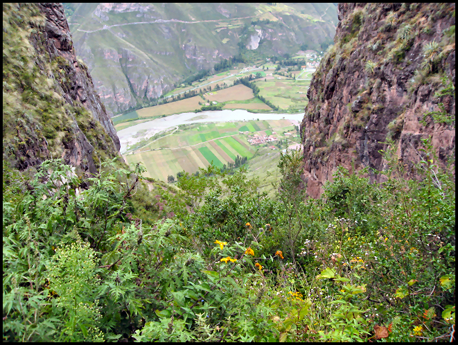
Huchuy Qosqo: Hiking up…up…up
It took me four hours to get to the top—it takes the average person three. I met a guide coming down with a tourist couple and he asked where my group was. I told him I was solita(alone) and he gaped at me.
