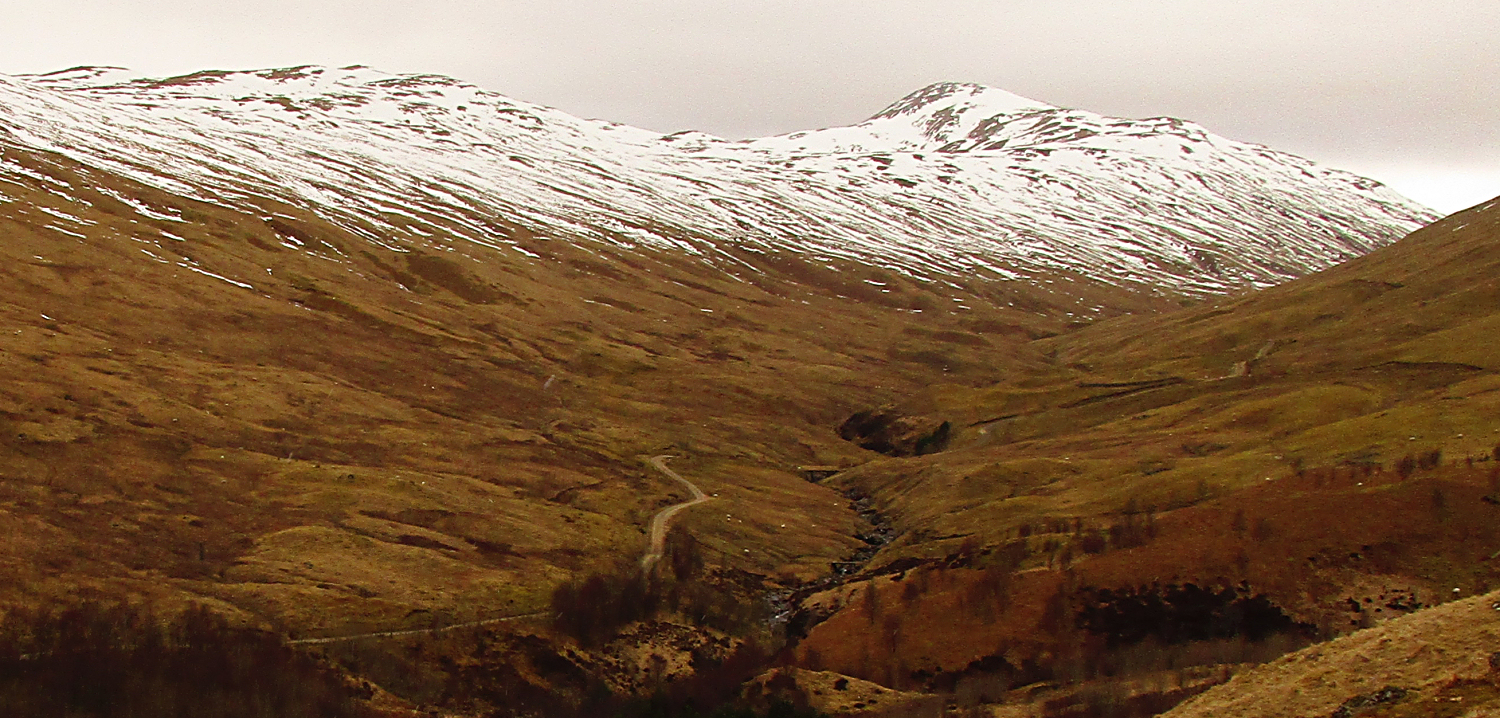
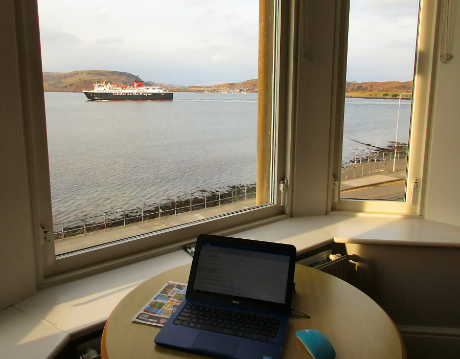

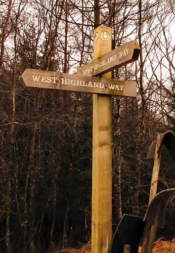
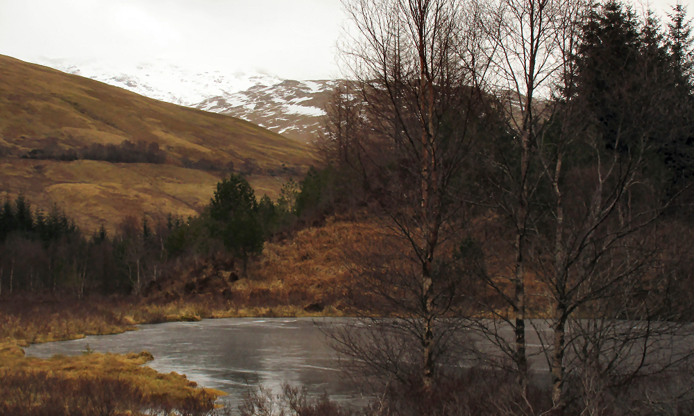
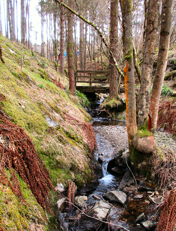
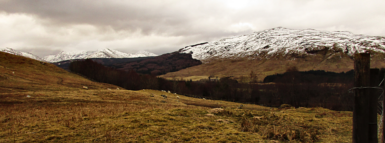
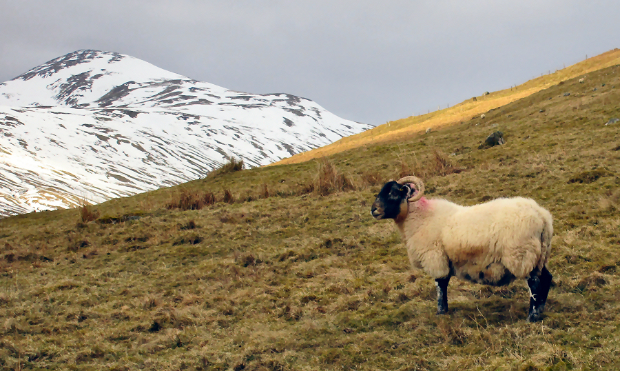
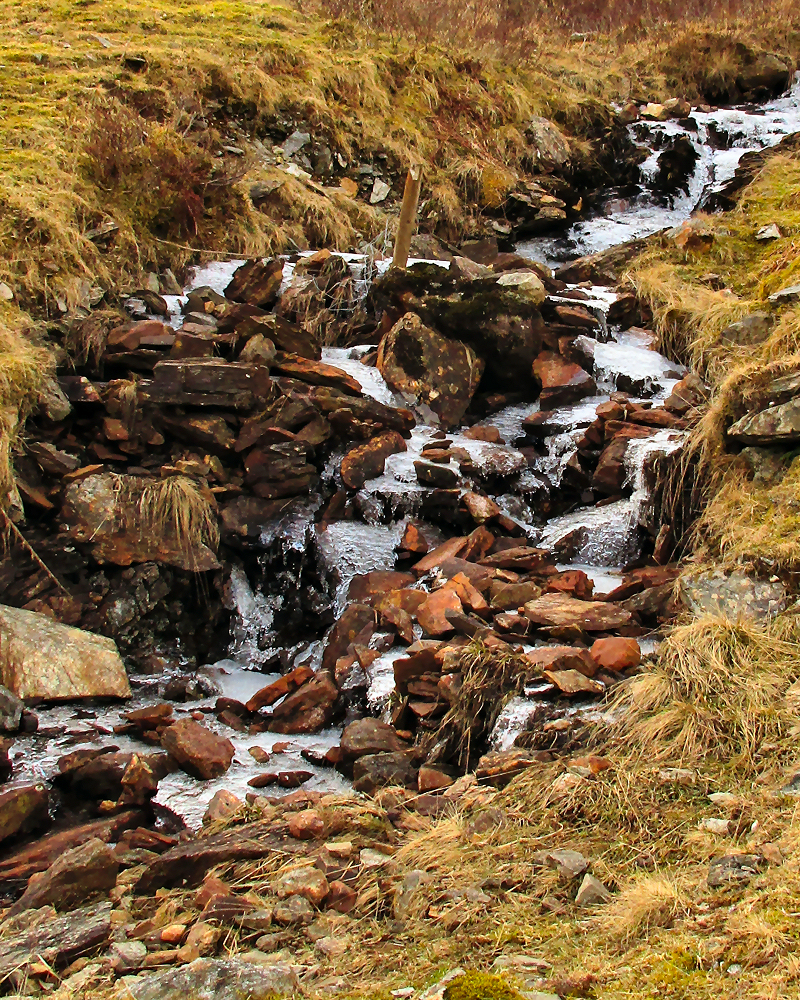
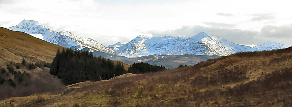
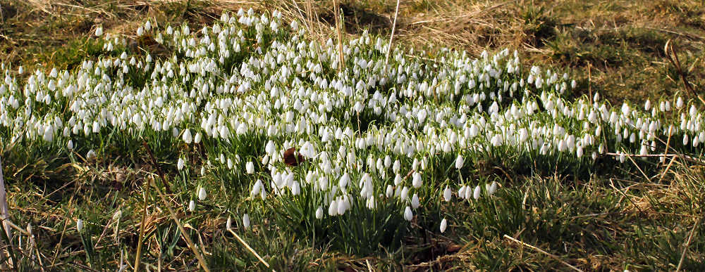
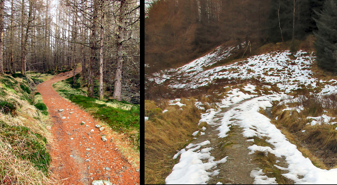
A Winter Walk in the West Highlands
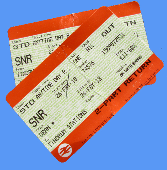
In the summer, the West Highland Way is a virtual highway of trekkers. I might encounter as many as 100 people on a nice summer day. Today I would meet five other walkers. Of course, I had to be prepared for the cold, but dressing in several layers was the remedy.
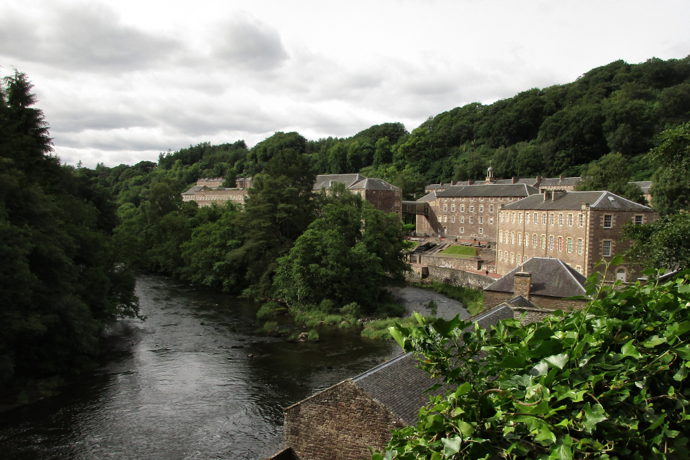
Quest for Fiber: The New Lanark Cotton Mill
I spent the entire day walking through the exhibits showing the living quarters, spinning machinery, children’s living conditions, the non-profit company store, and today’s working spinning mill making the New Lanark Wool Yarn.
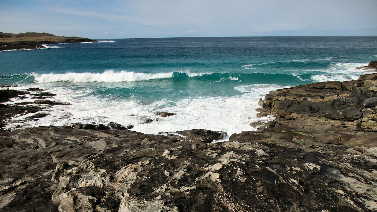
The Edge of the Planet is a Lovely Place to Be
I had time to take one hike on the Isle of Barra in the southern Hebrides and it was another of one of those occasions when I could not believe the place in which I had found myself.

1 thought on “A Winter Walk in the West Highlands”
Hello Cathy, I just read this to follow your tracks around Tyndrum and Crianlarich, thanks for sharing! I keep checking the Scarf's blog for an update 😉 Hope to read from you soon! Barbara from the Oban Hostel