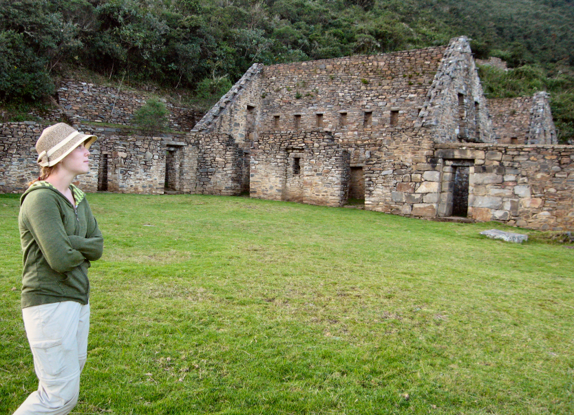
Choquequirao Trek Part I: Getting There
Choquequirao is considered to be a sister-site to Machu Picchu, but few people know about it. Researchers believe the site may be even larger than Machu Picchu. A very difficult 4-day trek in and out is required to visit these remote ruins.
Huchuy Qosqo: Hiking up…up…up
It took me four hours to get to the top—it takes the average person three. I met a guide coming down with a tourist couple and he asked where my group was. I told him I was solita(alone) and he gaped at me.
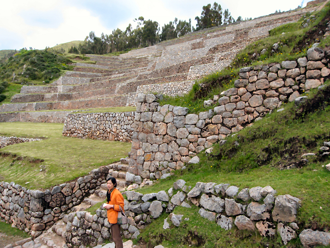
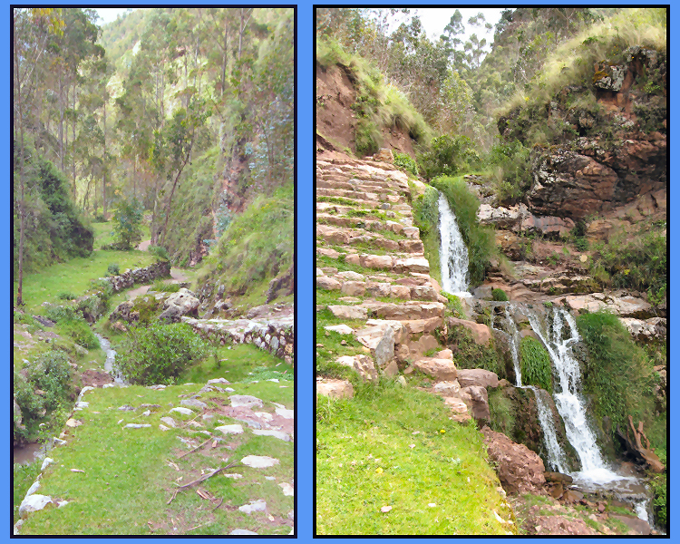
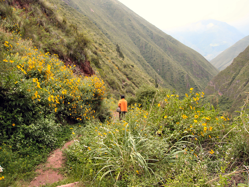
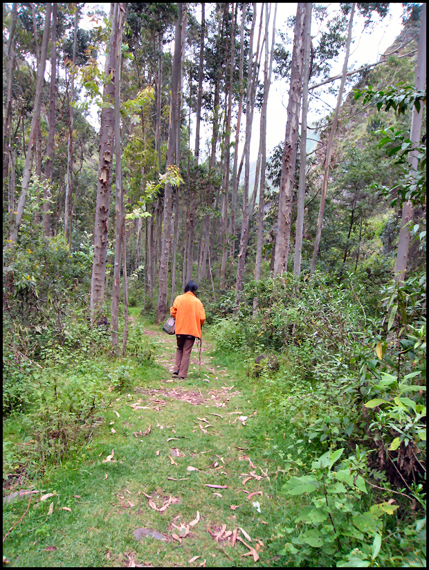
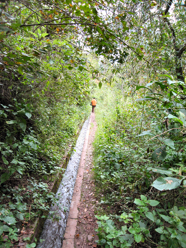
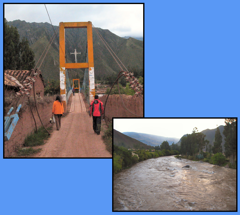
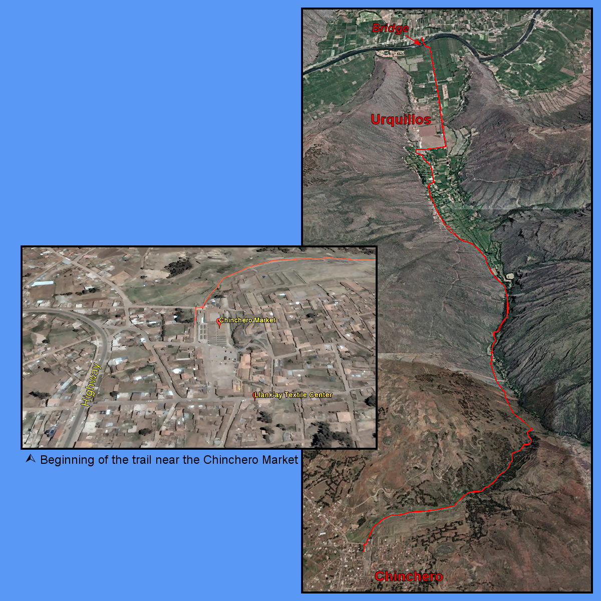
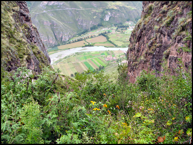
Chinchero to Urquillos: All downhill…
Wwe asked directions for the path that would take us down through the canyon to the Vilcanota River that runs through the Sacred Valley. It is a little-known walking trail and indeed, we did not encounter anyone, except on farmer and his dog…

1 thought on “Chinchero to Urquillos: All downhill…”
Thank you this was very helpful