A Winter Walk in the West Highlands
In the summer, the West Highland Way is a virtual highway of trekkers. I might encounter as many as 100 people on a nice summer day. Today I would meet five other walkers. Of course, I had to be prepared for the cold, but dressing in several layers was the remedy.
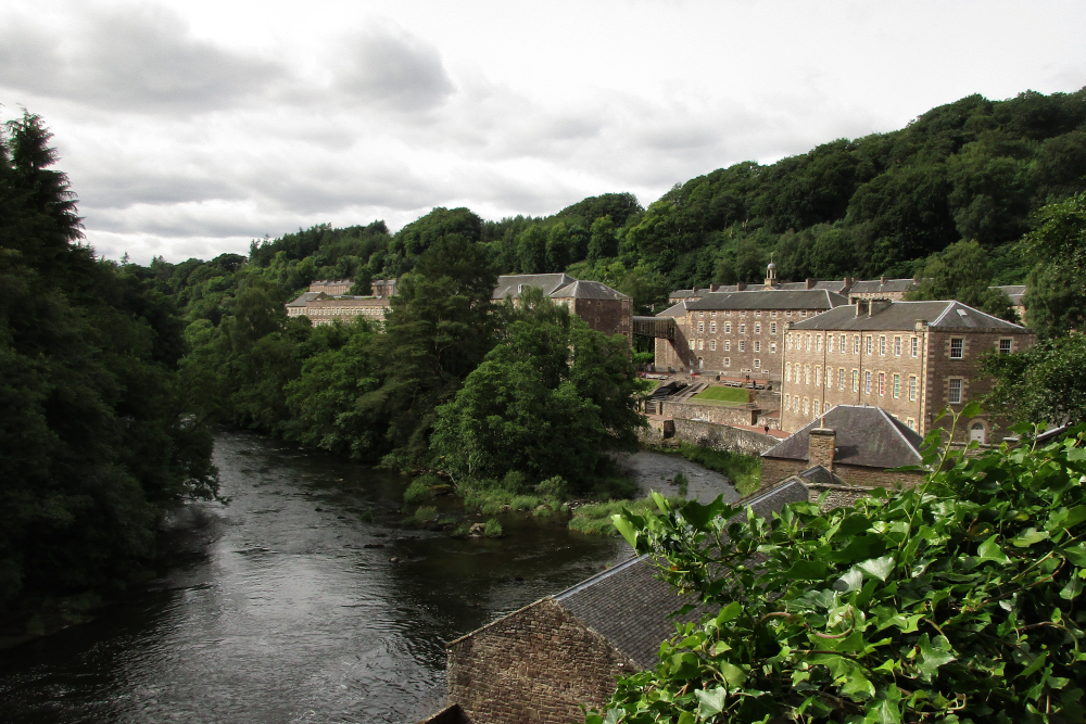
Quest for Fiber: The New Lanark Cotton Mill
I spent the entire day walking through the exhibits showing the living quarters, spinning machinery, children’s living conditions, the non-profit company store, and today’s working spinning mill making the New Lanark Wool Yarn.
Robert, the Dog Optometrist
There were only about four cars on this Sunday-morning boat and a man leaned out of a window of one of them to ask if I need a lift. Oh, those friendly Scots!

1 thought on “The Ups and Downs of Offa’s Dyke: Days One and Two”
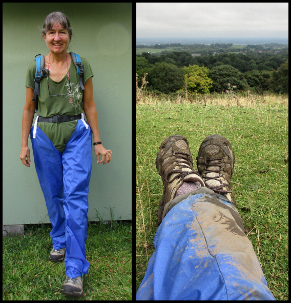
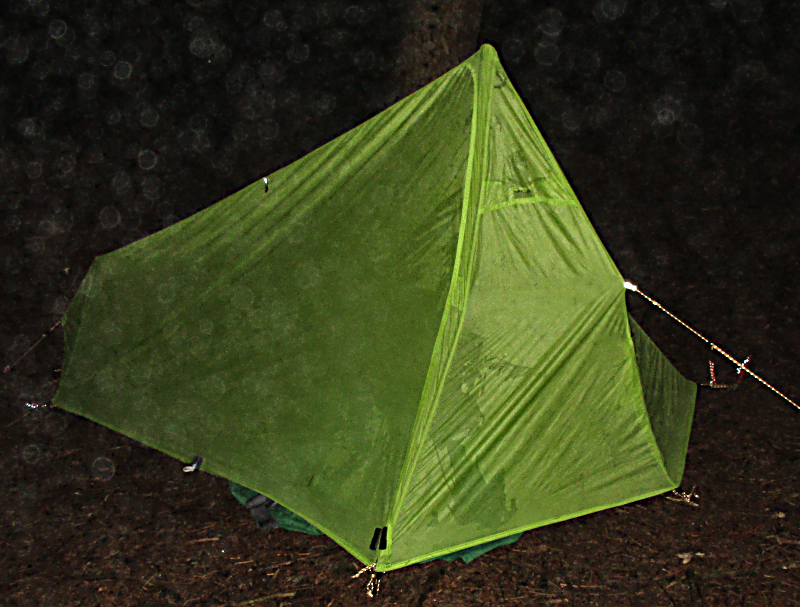
Your highs are glorious to share but I don't know if I could take a wet tent at night. You brave warrior woman.