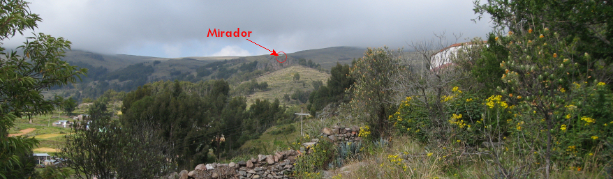
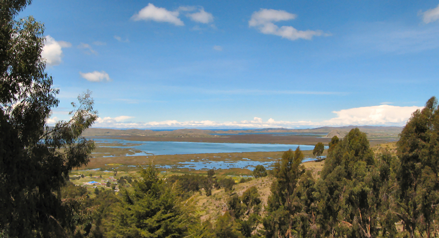

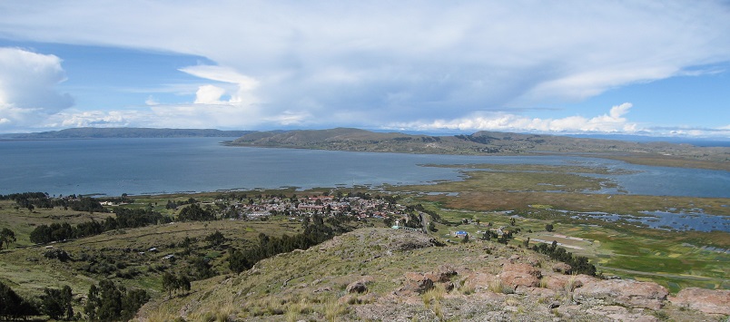
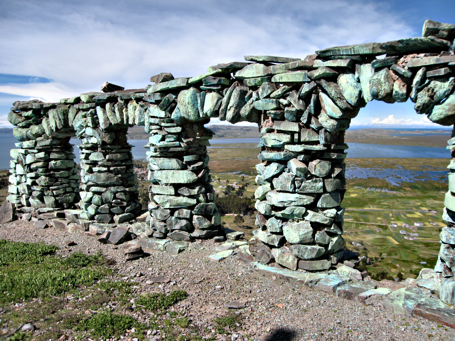
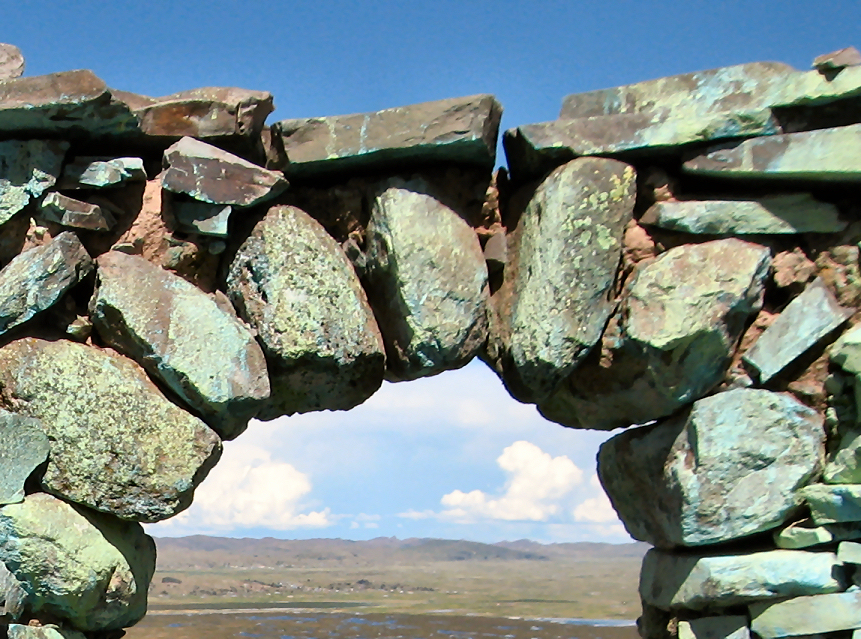
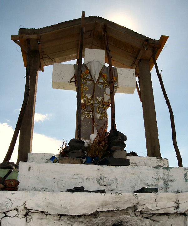
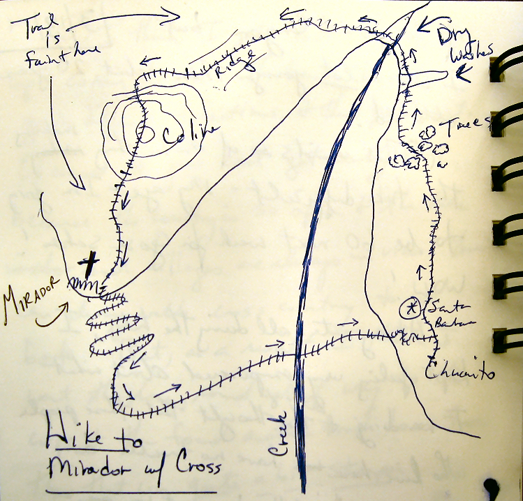
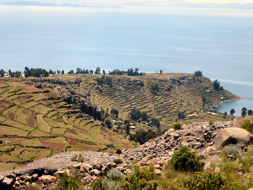
The Arches of Chucuito and a Hike at 4100 m!
The tiny pueblo of Chucuito (about a 30 minute combi ride south of Puno) is well known for the arches you see everywhere.
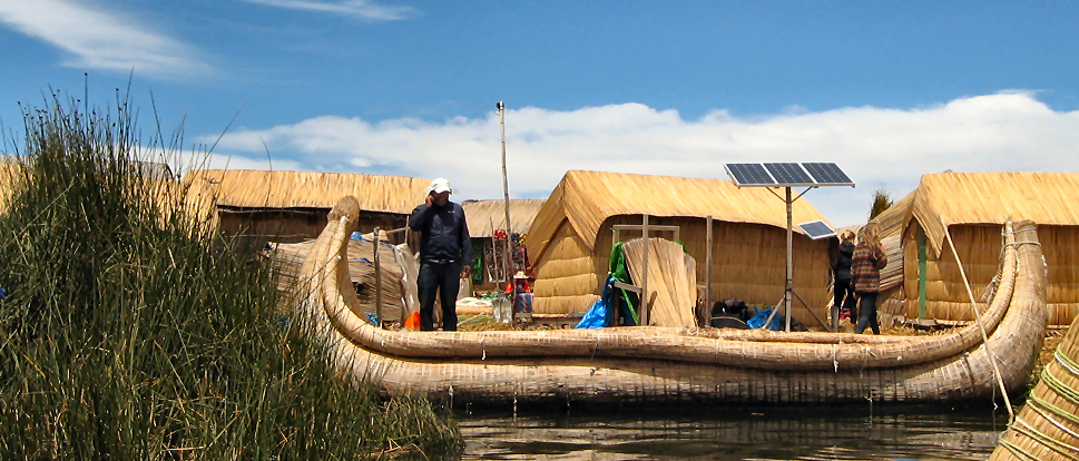
Islas! Islas!*
I decided to take a little tourist jaunt to the island of Amantani in Lake Titicaca. You can purchase a tour from one of many agencies in Puno, but if you go to the pier in Puno and pay the captain directly for the trip and then pay your host family directly, the families receive more of the proceeds and don’t have to wait for the agency to send the money.
Celebracion de 60 Compleanos en Isla Amantani
The tienda faces the plaza and there were some young men outside on the steps. Meliza and I moved outside to sit near them. I asked if they could spin. Freddie, sitting next to me smiled broadly and said yes, and he started using the little Turkish spindle while his friend tried out the one that Ben made me.

3 thoughts on “The Arches of Chucuito and a Hike at 4100 m!”
Those arches are insanely great. What a marvelous reward for the determined trekker.
what a beautiful countryside with classic architecture!
Thanks